
First book of Hokusai’s views of both banks of the Sumida river
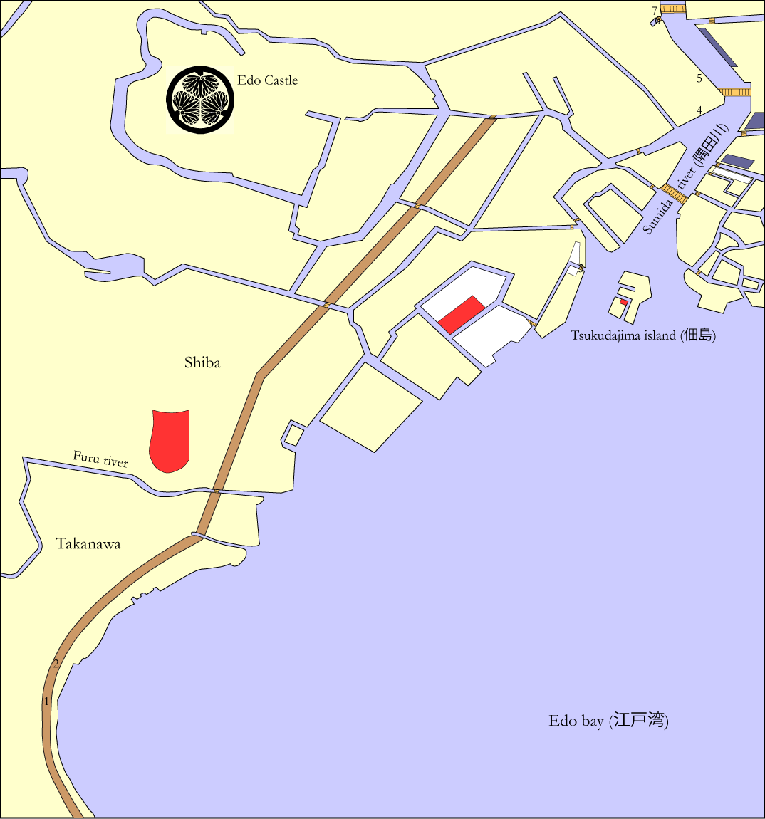
In his first book Hokusai starts the journey at the large entrance gate to Edo on the Tōkaidō road at Takanawa and ends up just south of Ryōgoku bridge, the first bridge to be built across the Sumida river after the devastating Meireki fire of 1657. Moving your mouse over the red circles in the following Edo map will indicate the location of each image in this book, and clicking on any of these circles will transfer you straight away to the corresponding images.
Moving your mouse over this map will also provide you with the names of a number of Edo bridges (in orange), districts and quarters (in white), temples and shrines (in bright red), and buildings and houses (in dark blue), as I was able to identify them from the historical Edo maps mentioned on my Glossary and links webpage.