
Second book of Hokusai’s views of both banks of the Sumida river
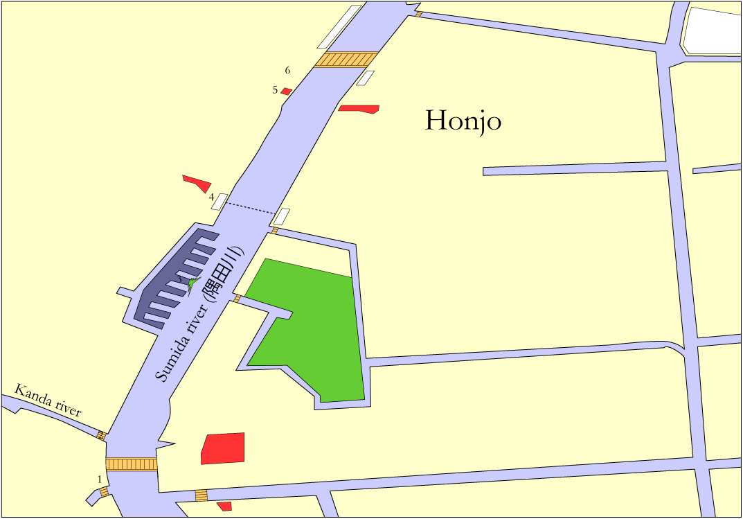
In his second book Hokusai continues the journey upstream the Sumida river starting at Ryōgoku bridge and ending up just north of Ōkawa bridge, also known as Azuma bridge. Moving your mouse over the red circles in the following Edo map will again indicate the location of each image in this book, and clicking on any of these circles will transfer you straight away to the corresponding images.
Moving your mouse over this map will again provide you with the names of a number of Edo bridges (in orange), districts and quarters (in white), temples and shrines (in bright red), buildings and houses (in dark blue), a bamboo storage area and even a very special pine tree (in green), as I was able to identify them from the historical Edo maps mentioned on my Glossary and links webpage.