
Third book of Hokusai’s views of both banks of the Sumida river
In his third book Hokusai continues the journey upstream along the westbank of the Sumida river starting at Sensōji temple, travelling as far north as Inari Myōjin shrine at Massaki, and finally ending up in the Yoshiwara district at New Year’s eve, thus coming full circle with the start of his journey at the dawn of the first day of the New Year in the first images of his first book.
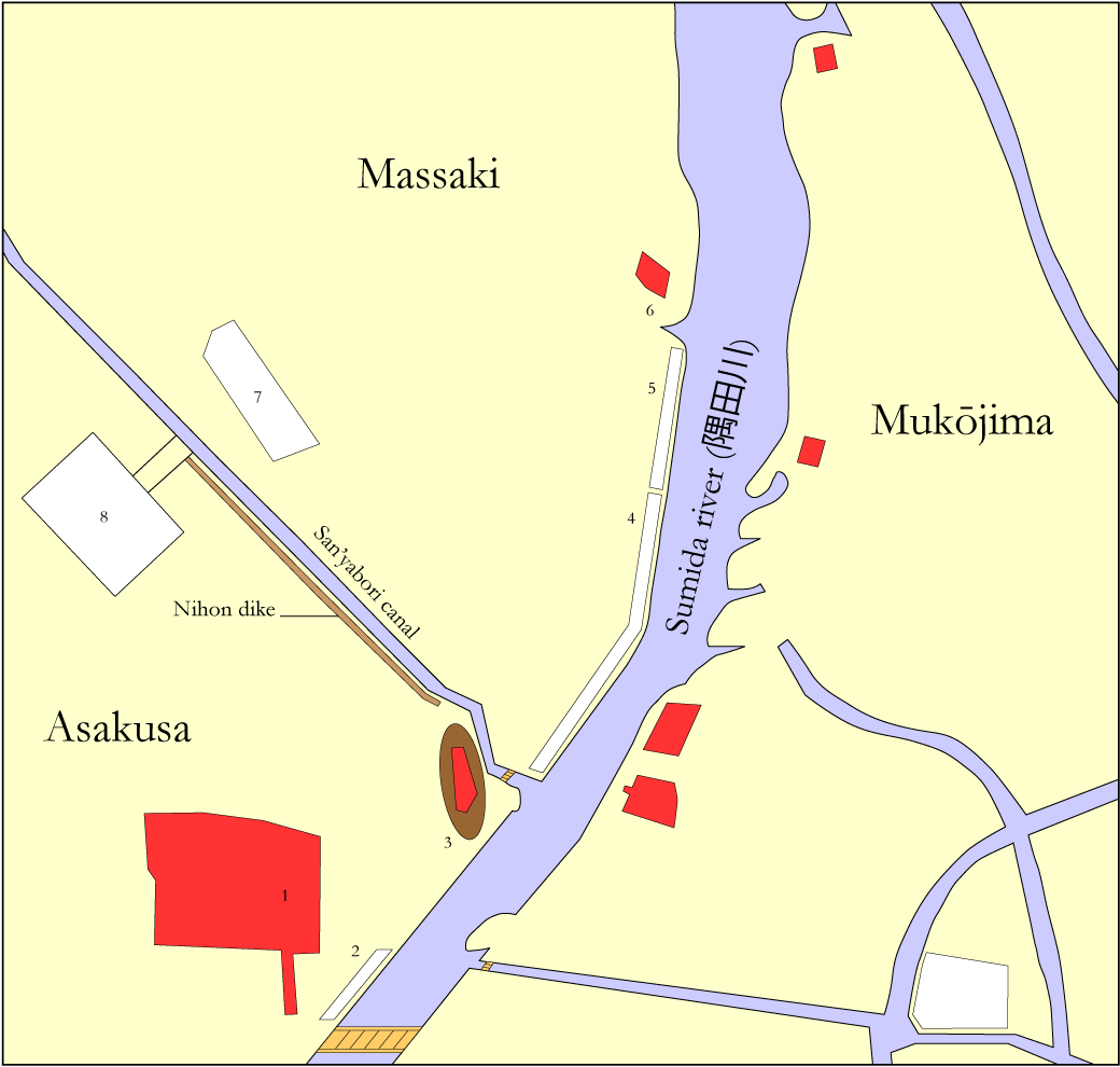
Moving your mouse over the red circles in the following Edo map will again indicate the location of each image in this book, and clicking on any of these circles will transfer you straight away to the corresponding images.
As before, moving your mouse over this map will provide you with the names of a number of Edo bridges (in orange), districts and quarters (in white), temples and shrines (in bright red), and even a hill (in dark brown), as I was able to identify them from the historical Edo maps mentioned on my Glossary and links webpage.